

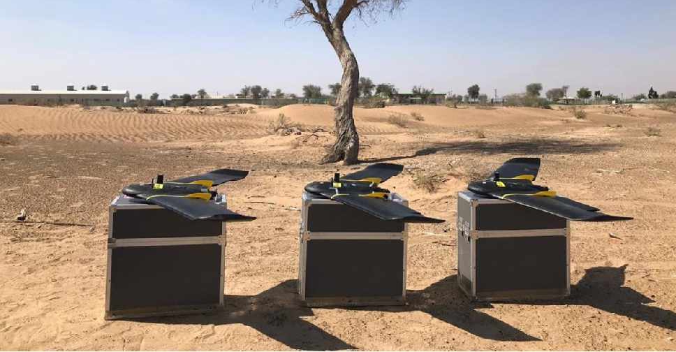
A project to map agricultural areas in the UAE using drones has completed its first phase.
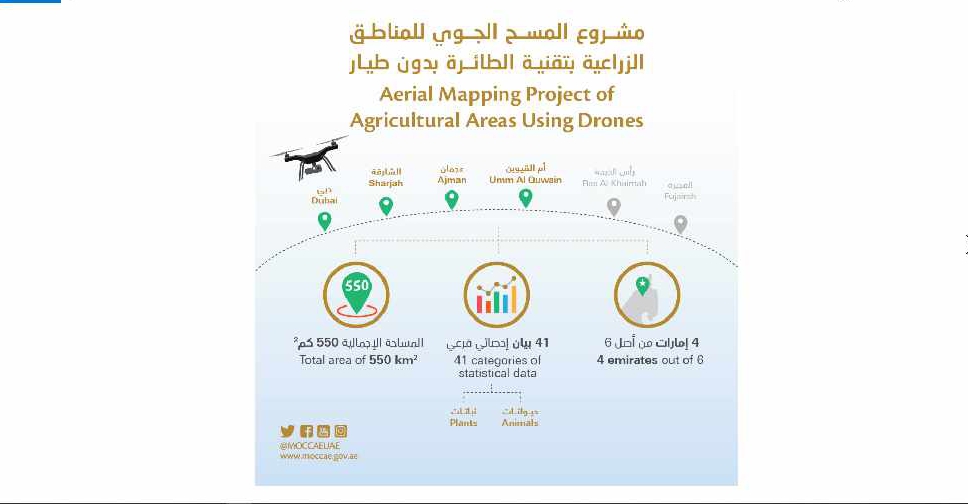
It’s captured around 550 square kilometres of land across Dubai, Sharjah, Ajman, and Umm Al Quwain so far.
The Ministry of Climate Change and Environment will use the data to monitor crops and help farmers with forward planning.
Agricultural areas in Fujairah and Ras Al Khaimah will be mapped in the project's second phase later this year.

 UAE launches world's first fully integrated AI-powered judicial platform
 UAE President and Greek Prime Minister discuss boosting trade ties
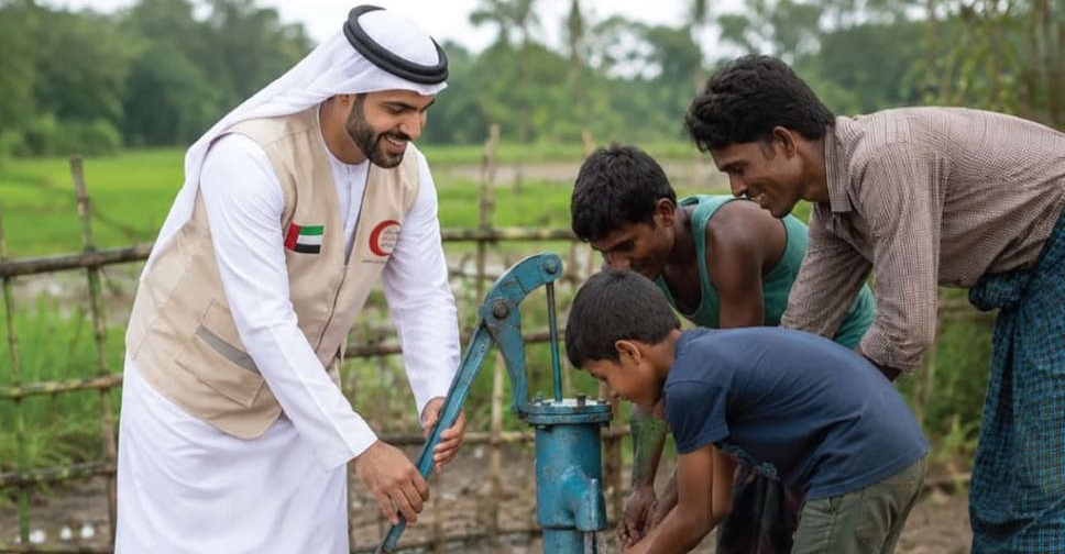 ERC's 'Water Aid' initiative to reduce impact of extreme weather in UAE, abroad
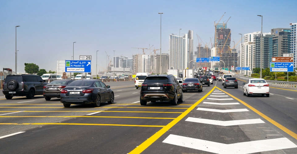 Dubai rolls out traffic upgrades on two key roads
 Dubai Police blocks over 290 websites for promoting drugs